Drone surveys are becoming a widely adopted method for gathering detailed and accurate data across a variety of industries. Whether you’re managing a construction site, mapping agricultural fields, or overseeing infrastructure projects, drones provide a practical way to collect aerial imagery with precision. In some locations, mainly urban or retail environments, it’s also helpful to coordinate with dedicated retail security guards in San Jose, to ensure safety and regulatory compliance during drone operations. This article outlines key steps for conducting a thorough drone survey, from selecting the right equipment to analyzing the collected data.
Drone Selection
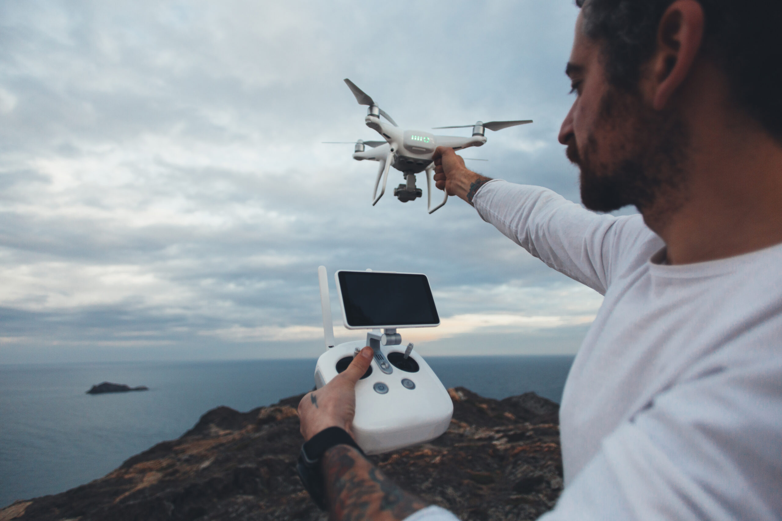
To perform an effective survey, begin by selecting a drone that offers reliable camera performance and sufficient battery capacity. A camera with at least 20 megapixels will provide the image detail necessary for accurate mapping and measurement. A drone that can remain in flight for at least 30 minutes helps reduce downtime and allows for covering larger areas in one session. Longer battery life also reduces the need for multiple landings and takeoffs, which can interrupt your workflow and increase the chance of errors. Equipment quality directly affects the reliability of the information you collect, so it’s worth investing in the right model for the job.
Flight Planning
Planning your flight path is a critical step that affects every part of your survey. Define the boundaries of the area you want to cover, then calculate the appropriate altitude and overlap settings to ensure full visual coverage. Use professional software like DroneDeploy or Pix4Dcapture to create and save these routes ahead of time. Environmental conditions such as wind, terrain elevation, and battery limitations should all be factored into your planning. It’s also vital to check for any legal restrictions, airspace regulations, or safety concerns in the area. Taking time to properly organize the route not only improves data accuracy but also helps avoid potential disruptions.
Data Capture
The quality of your images starts with how well you prepare the drone’s camera settings. Always shoot at the highest available resolution to capture as much detail as possible. Adjust the white balance according to the weather or time of day to produce color-accurate images. Use file formats like RAW or TIFF, which preserve more detail than compressed formats like JPEG. Ensure your shutter speed is fast enough to avoid motion blur, especially when the drone is in motion. Keep the ISO setting as low as possible to reduce digital noise. Lastly, confirm that your focus is correctly adjusted based on your flying height and subject matter. These steps will help you produce clean, accurate data for later use.
Image Processing
After the flight, the captured images need to be processed to become usable survey outputs. Begin with geometric corrections to fix lens distortion and any tilting that occurred during flight. Next, apply radiometric adjustments to balance brightness, contrast, and exposure levels for consistency across your dataset. Merging overlapping photos into one large, continuous image, or orthomosaic, allows for easier analysis of terrain or structures. Feature enhancement tools can help highlight specific elements, such as land boundaries or vegetation patterns. If available, use software that incorporates automated tagging or object detection to assist with interpreting large datasets. Keeping the processed images sharp and color-accurate is vital for delivering precise and meaningful results.
Survey Analysis
Once your imagery is processed, it’s time to turn it into actionable information. Organize the images into datasets aligned with the goals of your survey. Software such as Pix4D and DroneDeploy can generate 3D terrain models, point clouds, and other visualizations useful for measurement or comparison. Photogrammetry allows for exact calculations, which are particularly useful in construction or engineering projects. Always compare results with on-the-ground data when possible to confirm accuracy. You can identify trends or problem areas by comparing current results with past surveys, which is especially helpful for environmental or agricultural monitoring. Clear, well-organized analysis is what turns basic drone footage into valuable insights.
Best Practices
Consistent procedures lead to better results over time. Keeping your flight paths standardized across different sessions helps maintain data consistency. Adjust your flying height based on the specific needs of each project, lower for detailed inspections, higher for broader mapping.
Regular sensor calibration ensures your measurements remain reliable throughout the life of your equipment. Weather is another critical factor; always assess local conditions before takeoff to avoid unnecessary risk or inaccurate readings. Make time to inspect your drone before and after each use to reduce the chance of technical issues during a survey. A disciplined approach will keep your data accurate and your operations running smoothly.
Related Topics: