The growing presence of drones in our skies has created new challenges for trusted retail security firms and aviation authorities alike. Monitoring these unmanned aircraft involves a sophisticated web of technologies, regulations, and systems designed to maintain order in increasingly crowded airspace. From government oversight to cutting-edge tracking methods, drone monitoring balances innovation with safety concerns.
Understanding how these flying devices are tracked and regulated provides insight into the complex infrastructure that keeps our skies secure while allowing this revolutionary technology to thrive.
Regulatory Frameworks for Drone Monitoring
Effective drone monitoring starts with clear regulatory frameworks that guide both operators and enforcement agencies. The Federal Aviation Administration (FAA) has established comprehensive guidelines covering registration requirements, pilot certification standards, and specific flight restrictions. These regulations vary by drone weight, purpose, and operating environment, with commercial operations facing stricter oversight than recreational users. Local jurisdictions often add their own requirements, creating a multi-layered regulatory environment that drone operators must navigate.
Staying current with these evolving regulations is essential, as penalties for non-compliance can include substantial fines and even criminal charges in cases involving protected airspace. Regular updates to these frameworks reflect the rapidly changing capabilities and uses of drone technology.
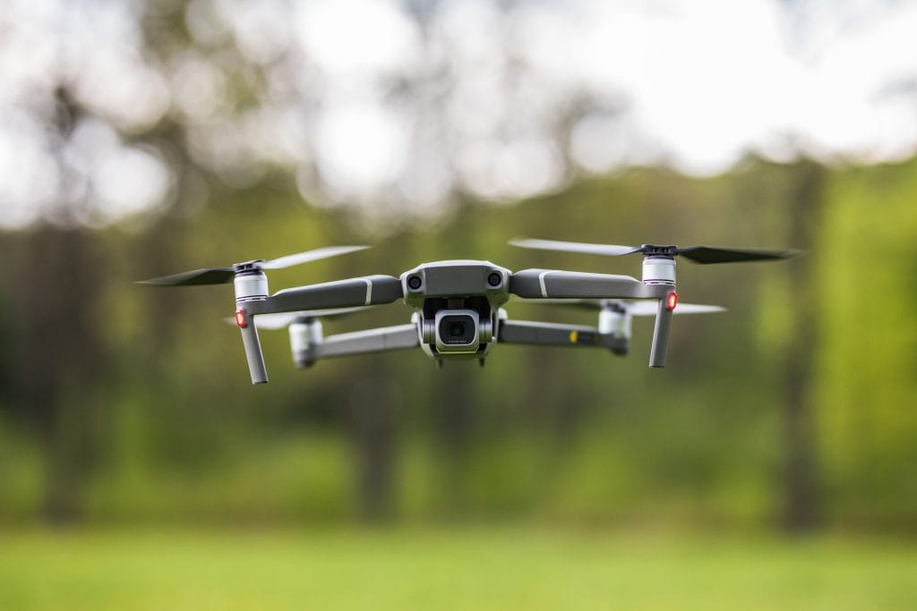
Remote Identification Technology
Remote ID acts as a digital license plate for drones, broadcasting essential information about the aircraft and its flight path. This technology transmits the drone’s location, altitude, speed, and unique identification number to nearby receivers, creating transparency in increasingly crowded airspace. Most new drones now come equipped with built-in remote ID capabilities, though older models can be retrofitted with add-on modules.
The data transmitted helps authorities distinguish between authorized operations and potential threats, enhancing overall airspace management. By 2023, nearly all drones operating in regulated airspace must incorporate this technology, representing a significant shift toward accountability in the drone industry and providing vital real-time information to security personnel monitoring sensitive areas.
Geofencing and No-Fly Zones
Geofencing creates invisible boundaries that prevent drones from entering restricted areas through GPS-based limitations programmed into the aircraft’s control systems. When a drone approaches these virtual barriers, it typically responds by automatically halting, returning to its launch point, or displaying warnings to the operator. Critical infrastructure like power plants, government facilities, airports, and stadiums are commonly protected by these digital perimeters.
Many drone manufacturers now pre-program these restrictions into their products, though determined users can sometimes bypass these safeguards through unauthorized modifications. Geofencing technology continues to evolve, with more sophisticated systems now capable of creating temporary restrictions around emergency scenes, public events, or security incidents to maintain safety and privacy.
Air Traffic Management Systems
Specialized air traffic management systems coordinate drone flights with traditional aircraft to prevent conflicts in shared airspace. These systems collect real-time position data from multiple sources, including radar, ADS-B transponders, and remote ID broadcasts to create a comprehensive picture of all airborne vehicles. Controllers use this information to enforce separation requirements and manage complex flight patterns, particularly in urban environments.
Advanced systems now incorporate automated conflict detection algorithms that predict potential collisions before they occur, allowing for earlier intervention. The integration of drones into national airspace requires continuous communication between operators and authorities, with permissions often granted or denied based on current traffic conditions, weather patterns, and special events that might restrict drone operations.
Counter-Drone Measures
When monitoring fails to prevent unauthorized drone activity, counter-drone technologies provide the last line of defense around sensitive areas. These systems employ multiple detection methods including radar, radio frequency analyzers, acoustic sensors, and optical cameras to identify drones operating where they shouldn’t be. Once detected, mitigation options range from signal jamming that forces drones to activate return-to-home functions to more aggressive measures like net-firing interceptors that physically capture rogue aircraft.
Deployment of these systems requires careful consideration of legal implications, as many counter-drone technologies may interfere with legitimate electronic communications or violate laws against aircraft interference if used improperly. The most effective security postures typically layer multiple counter-drone capabilities to address different types of threats.
Ready to enhance your security posture with drone monitoring technology? Start by assessing your specific vulnerabilities and consulting with experts who understand these systems’ capabilities and limitations. The right combination of monitoring tools can dramatically improve your security coverage while reducing personnel costs. Don’t wait until after an incident to discover gaps in your protection – take action today to integrate these powerful surveillance tools into your security strategy.
Other Related Topics: